[ad_1]
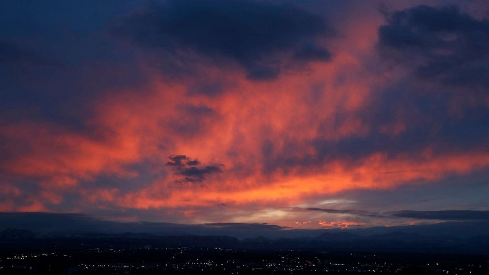
By late Sunday and Monday, heavy rain will slide into southern California.
5 min read
A powerful Nor’easter remains lurking well offshore of the northeast coastline. It backed westward on Friday, somewhat closer to the shoreline and as a result, gusty winds, large waves, some heavy rain and coastal flooding affected parts of New England.
The Nor’easter brought some heavier bands of rain to eastern Massachusetts, with over 1 inch of rain reported in parts of the Boston metro area. A wind gust of 59 mph was reported east of Nantucket, Massachusetts.
As the storm slips southward and then finally will head out to sea Saturday morning, some coastal flooding will remain possible from Virginia to Massachusetts, including the harbors around New York, Boston and Atlantic City, New Jersey. The coast flood threat will subside later Saturday, when the storm gets further away from the coastline.
Attention immediately turns to a pair of storms coming into the west, with major impacts likely through the next few days – especially in California.
Already, winter storm warnings and winter storm watches are being issued for parts of California. Outer rain bands of the first storm appear to be reaching the northern California coastline Saturday morning.
This first storm is expected to come ashore Saturday and bring heavy rain to the northern two-thirds of the state, and then bring some mountain snow to the Sierra and northern California mountains. This storm quickly will jet off eastward and begin to struggle to stay organized.
The second storm looks a little more potent and comes ashore on Sunday with widespread heavy rain for much of California, and another shot of mountain snow. Wind gusts in the mountains could range from 45 mph to as high as 90 mph at the highest peaks.
By late Sunday and Monday, heavy rain will slide into southern California, including Los Angeles and San Diego. The result of both of these storms is locally up to 4 feet of mountain snow in the Sierra range. Any essential travel that is occurring in this area will be very difficult and very dangerous.
Locally 2 to 4 inches of rain is expected in the low elevations of California – especially from Santa Barbara to San Diego. There is a possibility of some localized flash flooding and mud and rock slides. One to 2 feet of snow will be possible in the southern California mountains.
This weekend’s forecasted precipitation continues a recent trend for the region. In the last 30 days, the border area where Nevada, Arizona and California meet has seen well above average, rainfall – in some cases three to four times their average.
In the last six months, some cities in Southern California have seen a recovery in their water deficit that occurred from a lack of rain in the wet season.
Finally, a pretty strong cold front is moving through the central U.S. Saturday.
There are some regions of the country that could see a 20 to 30-degree temperature drop within just a few hundred miles. This entire system was responsible for some spring snow in parts of the northern Plains, with some locations in northern Minnesota reporting well over a foot of snow.
This same cold front is expected to interact with a disturbance in southern Texas, which should bring some heavy rain to the area. Localized flash flooding will be possible in parts of the region as a result.
[ad_2]
Source link

