[ad_1]
From the north, the Mississippi River is gushing into New Orleans after record-setting rains swelled its tributaries enough to maintain flood levels for the longest period in recorded history. From the south, Tropical Storm Barry is barreling toward the city, threatening to bring up to 20 inches of rain when it makes landfall Saturday.
The two-pronged weather hazard marks one of the biggest tests of the Big Easy’s upgraded levee system since Hurricane Katrina destroyed much of the city nearly 14 years ago.
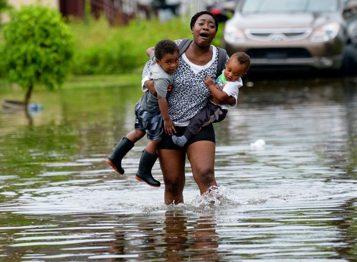
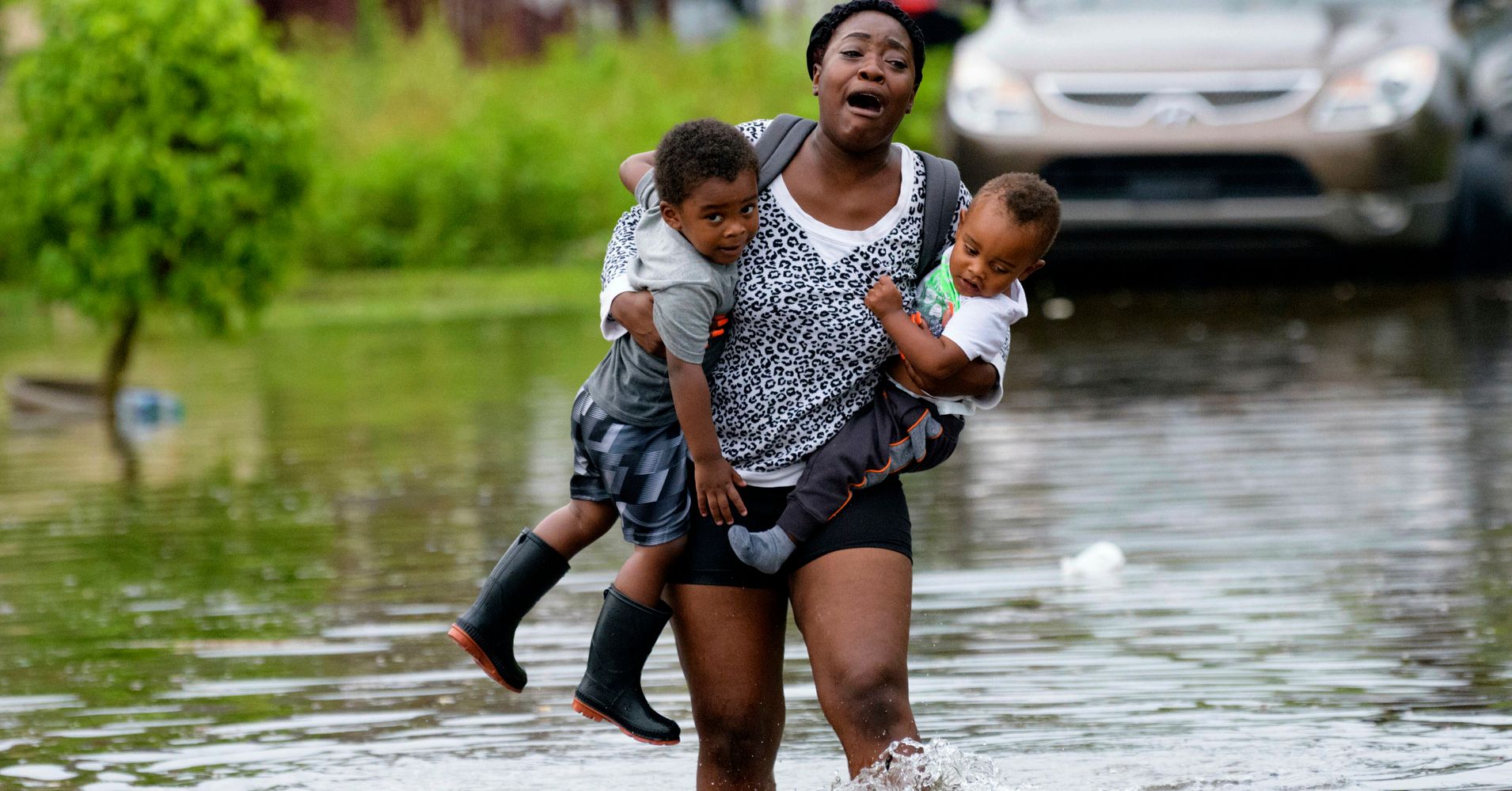
By midweek, rainfall swamped the low-lying Louisiana city’s streets. In some places, like the boozy tourist trap of Bourbon Street, revelers partied on. In others, such as Belfast Street, roughly a dozen blocks from the river, an Associated Press photo of Terrian Jones ― a young African-American mother wailing as she trudged through knee-deep water carrying her two toddlers ― clarified the stakes, harkening to the 2005 storm that left more than 1,800 dead, largely in the city’s mostly poor, black communities.

As of Friday afternoon, the storm had not reached hurricane strength, much less the Category 5 ranking that made Hurricane Katrina so powerful. Officials remained confident that the $14.7 billion the Army Corps of Engineers spent revamping the levee system, raising and building new barriers and reinforcing canals, would keep the city safe even as Tropical Storm Barry cruised northward from the Gulf of Mexico.
“Things are higher, things are stronger, there’s more redundancy since Katrina,” said Derek Boese, chief administrative officer of the Flood Protection Authority-East, a Louisiana agency established in 2006. “It really is like night and day.”
But as the storm gathered strength, increasing the risk of what the National Weather Service warned “may be significant” floods, the weather highlighted the catastrophe that looms ever-present over a metropolitan area with a population of nearly 1.3 million as climate change worsens.
On Wednesday, The New Orleans Times-Picayune reported that Army Corps databases showed a risk that 18- to 20-foot levees withholding the Mississippi River could overtop when the storm makes landfall this weekend. But, a day later, officials contested the report, arguing the Army Corps data was incorrect and citing state surveys that show the levees are, in fact, 25 feet high.
The uncertainty illustrates an alarming reality about the federally funded bulwarks against rising waters.
In April, the Army Corps revealed that the decadelong levee project, completed in May 2018, will become obsolete as early as 2023 as sea levels rise and the soil on which it’s built sinks, according to an agency analysis published by the trade publication E&E News.
It is, in many ways, a microcosm of the global crisis posed by planet-warming emissions. An industrialized waterfront prevents the Mississippi River from replenishing silt deposits, causing erosion. The oil refineries and offshore drilling terminals clustered in that corner of the Gulf Coast provide the fuel that, when burned, increases emissions in the atmosphere that trap heat and cause the planet to warm. Carbon dioxide concentrations hit a new benchmark of 415 parts per million in May, higher than at any point in the last 800,000 years. As temperatures climb, already roughly 1.1 degrees Celsius above preindustrial averages, polar and glacial ice melts and oceans expand, raising average sea levels.
Unique aspects of Tropical Storm Barry put a spotlight on those changes. As meteorologist Eric Holthaus noted in The New Republic, water temperatures in the Gulf are nearing record levels typically seen later in the hurricane season. Since records began in 1851, a July hurricane has hit Louisiana only three times.
In a hotter, wetter world, big, destructive storms are projected to become more frequent and powerful. Forecasters warned the system moving toward New Orleans appears to be slow moving, much like Hurricane Harvey, which killed 107 and drenched Houston in August 2017, and Hurricane Florence, the Category 4 storm that pummeled the Carolinas in September 2018.
Hurricane Maria, a Category 5 tempest, ravaged Puerto Rico and the U.S. Virgin Islands with one-in-1,000-year rains in September 2017. Katrina, initially dubbed a one-in-100-year storm, was later designated a one-in-300-year event, showing how such predictions are moving targets.
Yet New Orleans’ 139-mile system of levees was only rebuilt to withstand a one-in-100-year storm, equivalent to Hurricane Katrina’s initial Category 3 status before it strengthened to Category 5.
“I call it a historic city with a poor memory,” said Craig Colten, a professor at Louisiana State University who studies how communities deal with flooding and recovery. “Typically over time, one expects to see an erosion of social memory, a deterioration in a sense of urgency.”
Compare that, said Pulitzer Prize-winning author Jed Horne, with the Dutch response to the 1953 North Sea flood that overwhelmed the Netherlands’ coastal defenses, killing more than 2,500 people and destroying nearly 10% of the nation’s farmland. The Dutch government pioneered new flood-control technologies and designed a system built to withstand one-in-10,000-year weather events.
“They built a system 100 times stronger than the system around New Orleans, because that’s the sensible thing to do if you’re a grown-up country protecting yourself,” said Horne, a former Times-Picayune reporter and author of the book “Breach of Faith: Hurricane Katrina and the Near Death of a Great American City.” “But we didn’t.”
For now, the fortifications that were built should be enough to protect against Tropical Storm Barry, even if it reaches hurricane status, said Boese.
“Would we all like a higher standard than one-in-100 years? Of course,” he said. “But that’s a federal government issue. It impacts us. But that’s a policy question; you’re talking about a financial question. That’s now the storm I’m looking at right now.”
REAL LIFE. REAL NEWS. REAL VOICES.
Help us tell more of the stories that matter from voices that too often remain unheard.
[ad_2]
Source link

