[ad_1]
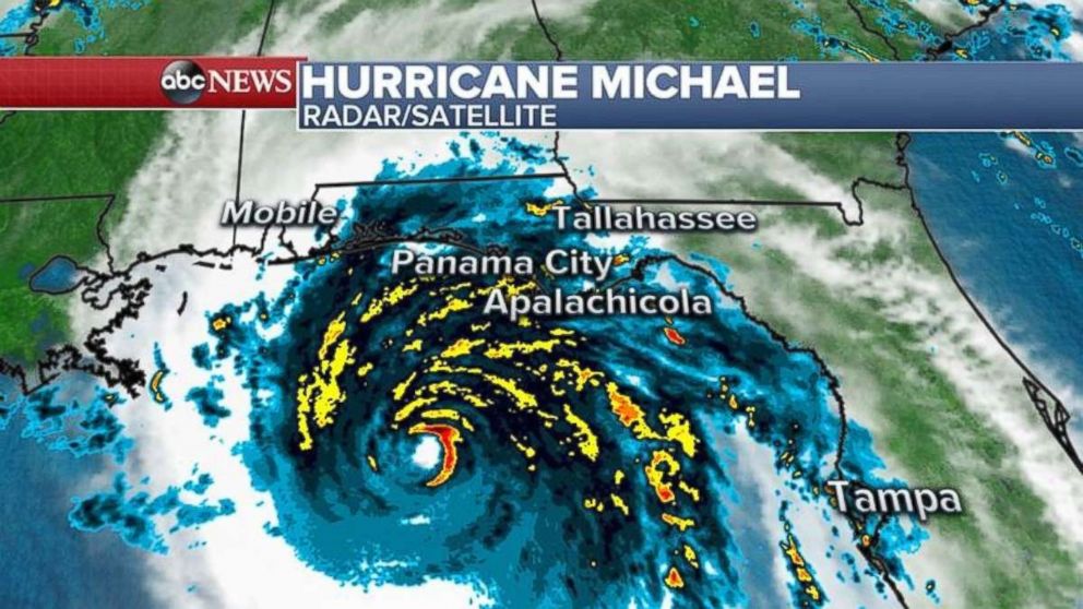
Hurricane Michael, a potentially catastrophic Category 4 storm, churned toward the Florida Panhandle Wednesday as the state and its neighbors to the north braced for the impact.
Interested in Hurricane Michael?
Add Hurricane Michael as an interest to stay up to date on the latest Hurricane Michael news, video, and analysis from ABC News.
Florida Gov. Rick Scott said it is the worst storm the Panhandle has seen in a century. No hurricane of Category 4 strength has ever hit that area before.
The last Category 4 hurricane to strike the U.S. mainland was Hurricane Irma in Sept. 2017.
 ABC News
Here is what to expect and when
Wednesday:
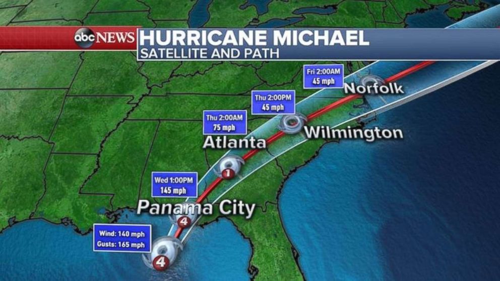
— As of 11:30 a.m., Michael, with powerful winds of 150 mph, was 50 miles south to southwest of Panama City, moving north to northeast at 14 mph.
— Landfall is expected around 1 p.m. near Panama City or Mexico Beach.
 ABC News
— Life-threatening storm surge of up to 14 feet high, hurricane-force winds and heavy rainfall are all imminent.
— Water levels are already quickly rising and winds are increasing along the Florida Panhandle.
— Storm surge of 5 feet was already reported in Apalachicola, Florida, Wednesday.
Thursday and after:
— Scott has warned of major flooding. Rainfall may reach 12 inches in Florida.
— Michael is forecast to move quickly through Georgia and into the Carolinas on Thursday. The Carolinas could see around 6 inches of rain.
[ad_2]
Source link

